Breaking: Sydney Suburbs Battle Severe Weather – 78mm Rain Falls in Just One Hour
Anúncios
Intense Storm Hits Sydney During Lunchtime
Heavy Rainfall and Flooding
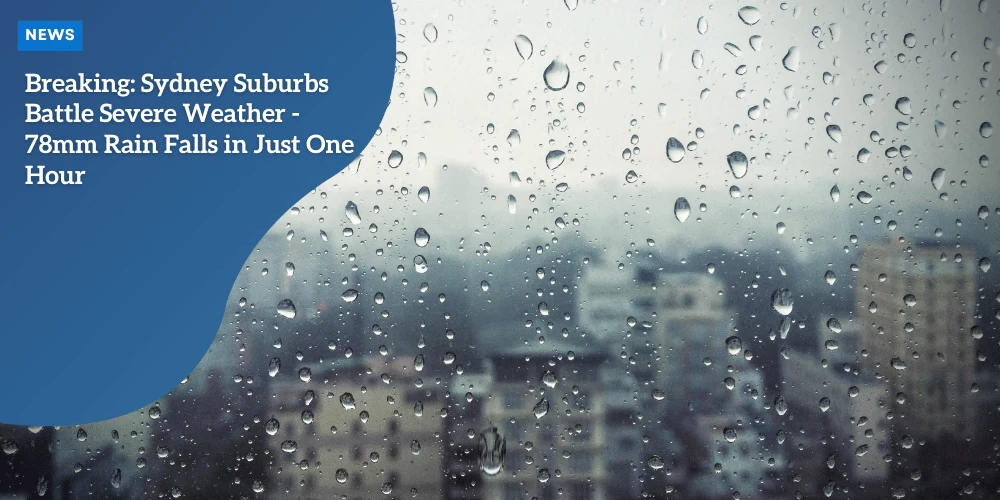
During lunchtime, Sydney experienced an intense storm, with a stunning 88mm of rain recorded, 78mm of which fell within just one hour.
This downpour led to severe flooding in various parts of the city, particularly affecting Town Hall Station and multiple roads.
Commuters were met with flooded platforms at the station, while cars navigated through waterlogged streets.
State Emergency Service Warning
As the storm ravaged the city, the State Emergency Service issued a stark ‘stay indoors’ warning for several suburbs.
Anúncios
Sydney residents were advised to stay put and avoid travel unless absolutely necessary.
Suburbs impacted by this warning included Horsley Park, Liverpool, Erskine Park, Leppington, Fairfield, Penrith, Richmond, Campbelltown, and Sutherland.
Continuing Weather Threats
While the major storm has moved offshore, severe weather conditions linger over New South Wales.
Residents have been cautioned about the possibility of more thunderstorms and heavy rain overnight.
According to the Bureau of Meteorology, this violent weather may persist due to a low-pressure trough, drawing moisture from the north and ocean, sustaining the stormy conditions.
Anúncios
 Be alert for lightning storms
Response and Precautions
The Bureau of Meteorology had earlier issued severe thunderstorm warnings for Metropolitan and surrounding districts.
The warnings highlighted threats of heavy rainfall leading to flash flooding, large hailstones, and damaging winds.
Key areas affected by these warnings included Sydney, Gosford, Orange, Katoomba, Dubbo, and Parkes.
Residents were advised to secure loose items around their properties and to be alert for any debris that might be brought in by the wild weather.
The authorities have been working round the clock to manage the flooding and assist those in need.
Given the continuous rainfall and storm conditions, the weather warnings serve as a crucial reminder for everyone to remain cautious and prepared.
Transition to Weather Forecast
Looking ahead, the intense weather is expected to continue its grip on Sydney and surrounding areas for the next few days.
Severe Weather Warnings and Affected Areas
Bureau of Meteorology Updates
The Bureau of Meteorology (BOM) has issued severe thunderstorm warnings to residents within Sydney and its surrounding districts.
These warnings pinpoint substantial threats including flash flooding, large hailstones, and potent gusts of wind.
Key Areas of Concern
The rains and thunderstorms extend beyond Sydney, with key areas such as Gosford, Orange, Katoomba, Dubbo, and Parkes under alert. Each storm brings its own set of hazards:
| Location | Weather Impact |
|---|---|
| 🌧️Sydney | Flash flooding has disrupted daily life, inundating roads and Town Hall Station. |
| 🌧️Gosford | Residents are cautioned against venturing outside, with heavy rainfall and possible hail. |
| 🌧️Orange, Katoomba, Dubbo, Parkes | These regions face a considerable risk of similar extreme weather conditions. |
The BOM warns that these conditions are being driven by a stubborn low-pressure trough which holds in moisture, fueling ongoing severe thunderstorms throughout New South Wales until at least the coming Wednesday.
Nature of the Threats
Residents should prepare for:
- Flash Flooding: With intense rain, local areas may flood rapidly, creating hazardous travel conditions and potential property damage.
- Hailstones: Reported to be between 2-6cm in diameter, these can cause significant damage to vehicles, crops, and buildings.
- Damaging Winds: Winds could exceed speeds of 125km/h, capable of toppling trees, damaging structures, and blowing debris.
Emergency Services Recommendations
The State Emergency Service advises all residents in affected areas to secure loose items, stay indoors, and avoid travel if possible.
The storm’s prolonged nature and unpredictable system suggest that all personnel should remain vigilant and follow the local guidelines to mitigate risks.
Dangerous Weather Conditions
Destructive Winds
Amidst the intense storm that hit Sydney, areas across New South Wales are facing destructive wind gusts that have the potential to reach speeds over 125km/h.
Such high velocity winds pose significant risks, making it crucial for residents to stay indoors and secure any loose items around their properties.
The State Emergency Service has urged caution, warning that these powerful winds could lead to widespread structural damage and fallen debris, contributing to hazardous conditions on roads and in public spaces.
Large Hailstones
Alongside the fierce winds, large hailstones have been reported in various areas.
Some hailstones have ranged between 2cm to as much as 6cm in diameter, capable of causing serious damage to vehicles, rooftops, and outdoor structures.
Residents in hotspots like Boorowa, Harden, and Temora have already experienced the brunt of these hailstorms.
It’s critical to stay sheltered, as these hailstones may fall with significant force, causing injuries or damage to unprotected surroundings.
Extreme Rainfall and Flash Flooding
The storm’s most severe impact has been the extreme rainfall, resulting in life-threatening flash flooding.
Sydney saw a staggering 78mm of rain in just one hour, overwhelming the drainage systems and causing significant flooding in areas like Town Hall Station and major roads.
Some suburbs experienced water levels rising rapidly, making it perilous for those who ventured out.
The Bureau of Meteorology has flagged the ongoing risk of continued thunderstorms and high-intensity rainfall until at least Wednesday, with widespread rainfall totals ranging between 30mm to 80mm.
Isolated areas might witness up to 120mm, exacerbating the flash flood conditions.
This stagnant weather pattern, driven by a low-pressure trough, continues to draw moisture from the north and the ocean, feeding the persistent storm activity.
Residents have been advised to stay alert to weather warnings, avoid non-essential travel, and be prepared for potential evacuations if the conditions worsen.
The critical message remains clear: staying indoors and keeping safe is paramount during these challenging weather conditions.
Extended Weather Forecast
Ongoing Thunderstorm Conditions
As the stormy weather continues to grip Sydney and New South Wales, residents can anticipate the thunderstorm conditions to persist until at least Wednesday.
The low-pressure trough responsible for these wild weather patterns is expected to maintain its position, drawing in moisture from the north and oceans.
This means that the risk of thunderstorms and heavy rain will remain elevated for the coming days.
Predicted Rainfall Totals
Meteorologists predict widespread rainfall across the region, with totals ranging between 30mm and 80mm.
However, some isolated areas could receive up to 120mm, significantly increasing the risk of flash flooding.
The stagnant nature of the low-pressure trough further complicates the situation, making it difficult for weather conditions to improve rapidly.
Lingering Storm Risks
Due to these persistent storm conditions, residents are advised to remain vigilant.
The extended forecast suggests that the severe weather, characterized by heavy downpours, hailstones, and destructive wind gusts, will continue to pose threats to life and property.
It’s crucial to heed warnings and follow the safety advice issued by authorities.
With the current low-pressure system showing little sign of movement, there is a continual risk of further thunderstorms and heavy rain.
The State Emergency Service continues to stress the importance of staying indoors and monitoring weather updates closely.
Broader Impact on Australia
Beyond Sydney, surrounding regions like the ACT and Victoria’s Gippsland are also under thunderstorm warnings, highlighting the widespread nature of this weather event.
It’s a clear reminder of the unpredictable weather patterns Australia faces, affecting multiple regions simultaneously.
Stay tuned for further updates as the situation develops.
National Weather Overview
Widespread Thunderstorm Warnings
Severe thunderstorm warnings have been extended to include the Australian Capital Territory (ACT) and Victoria’s Gippsland region.
These alerts align closely with those issued across New South Wales (NSW), signifying a widespread threat throughout southeastern Australia.
Both the ACT and Gippsland are at risk of experiencing heavy rain, large hailstones, and damaging winds similar to those currently affecting Sydney and its suburbs.
Diverse Weather Patterns Across Australia
While the southeastern regions are bracing for more storms, major cities across Australia face varied weather conditions:
- 🌧️Brisbane: Partly cloudy skies with a slight chance of thunderstorms followed by a mostly sunny afternoon. Brisbane will see temperatures peaking around 31°C.
- 🌧️Melbourne: Overcast conditions with a potential afternooon thunderstorm. Temperatures are expected to reach a maximum of 26°C.
- 🌧️Adelaide: Predominantly sunny weather, complemented by south-easterly winds. The city will experience a high of 34°C.
- 🌧️Perth: Partly cloudy conditions with a chance of rain, especially towards the southwest. Perth will see temperatures reaching up to 28°C.
- 🌧️Hobart: The city will experience cloudy conditions with a maximum temperature of 21°C.
- 🌧️Canberra: High chances of showers and potentially severe thunderstorms with temperature highs around 23°C.
- 🌧️Darwin: Frequent showers and thunderstorms are expected. The city’s temperatures might reach up to 32°C.
Continuing Weather Threats
The unique weather patterns observed throughout the country underscore Australia’s unpredictable and varied climate.
Heavy rainfall and thunderstorms are predicted to persist in key impacted areas until at least Wednesday.
The Bureau of Meteorology cites a low-pressure trough as the main driver behind the stagnant weather pattern.
As weather conditions remain volatile, residents are advised to stay informed about any updates, adhere to emergency warnings, and prioritize safety.
Authorities continue to assist affected regions, preparing for the long days ahead amid these severe weather challenges.
Ensure you stay vigilant and prepared for the unexpected shifts in weather.